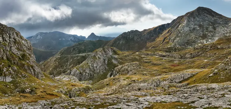
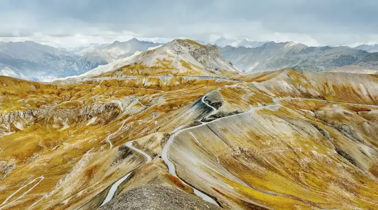
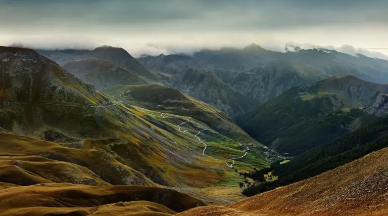
Colle delle Carsene
Ligurian Alps, border France - Italy
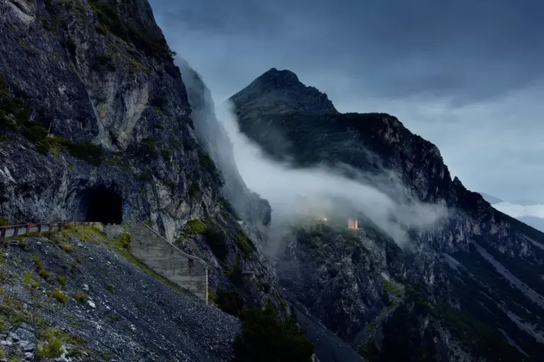
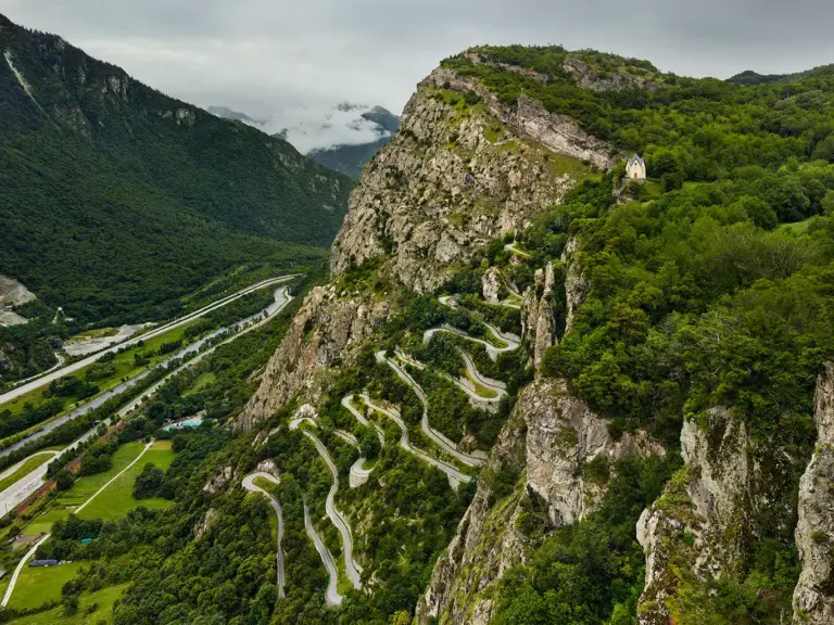
The Ligurian border ridge road is a former military road and unsurfaced gravel track in the Ligurian Alps and runs along the border between Italy and France from Col de Tende over 60 kilometres to Colla Melosa. It connected numerous mountain forts when the Italian border was still in the Roya Valley in what is now France. The road was maintained especially in the 1930s under Mussolini and shows how important it was at the time.
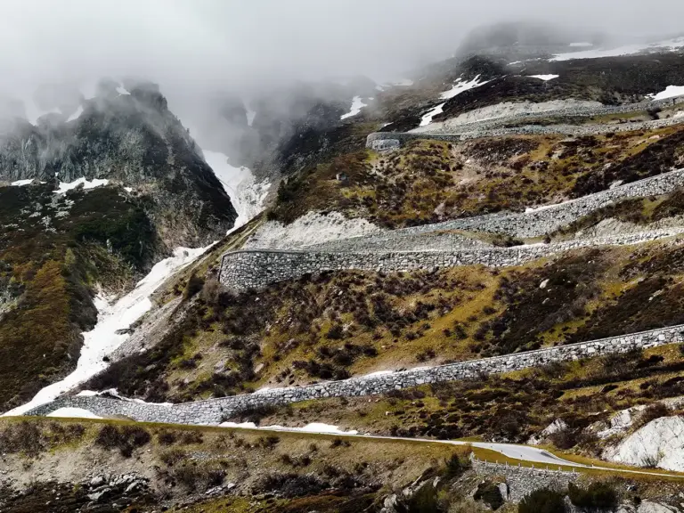
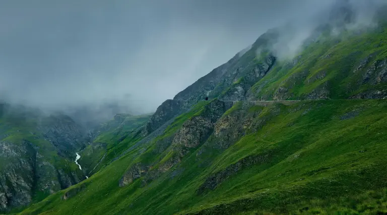
The northern section of the Ligurian border ridge road (Alta Via del Sale) begins at the aforementioned Col de Tende. Between the Colle della Boaria and the Col des Seigneurs, the road leads through a marvellous karst plateau at the foothills of Punta Marguareis.
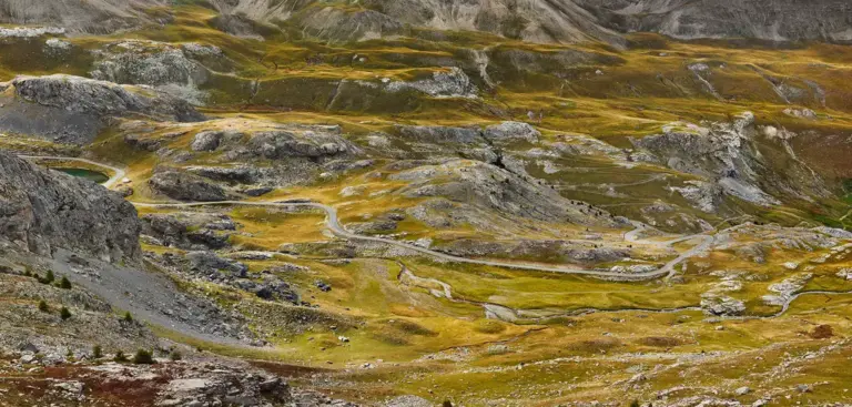
White rocks characterise this landscape here, there are many sinkholes and variations of large and small karst fields. I particularly like this section, which is around 20 kilometres long.
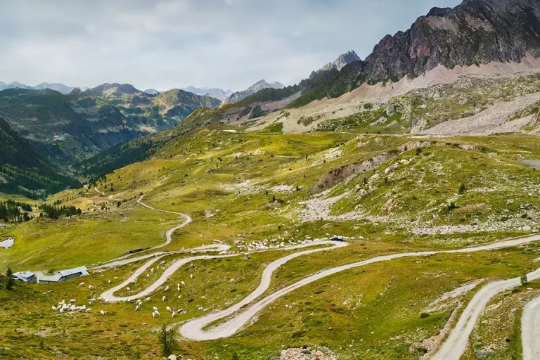
I was looking for a photograph until I found this view at Colle delle Carsene. From here you can clearly see the course of the road and the shortcuts that branch off, recognise the characteristic mountains that give you orientation and can testify to the winding path.
On the way there, I had overlooked the view, even favouring another one not far from this point. This is also one reason why I almost always plan a return journey. It takes me at least twice as long, and everything is a bit more tedious and time-consuming, but I can imagine a better view.


