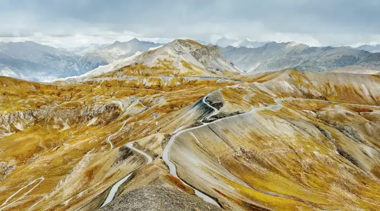
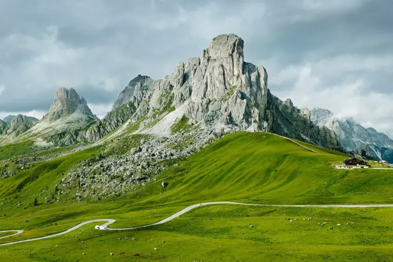
Col de la Bonette II
Maritime Alps, France.
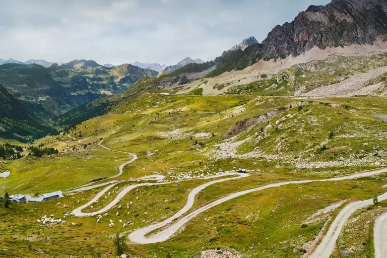
View over the top of the pass – it is the rock cut at the intersection of the four roads in the centre of the photograph at an altitude of 2715 m. The south-east ramp branches off to the right, the north ramp to the left. This is where the ring road begins, circling the Cime de la Bonette at 2802 m and thus becoming the highest motorable road in the Alps.
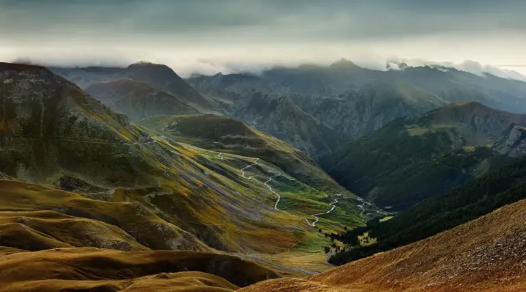
Below the Sommet de Restefond mountain (in the centre), a piste branches off from the northern ramp, leads directly over the Col de Restefond and rejoins the south-eastern ramp a little further east just before the Col de Raspaillon.
There are military installations throughout the region and along the road, including defence structures of the Maginot Line, which were built here in the 1930s. The border with what was then fascist Italy was only a few kilometres away.
I photographed this view in September, the grass had long since turned yellow at this altitude, a monochrome colour scheme that in my eyes perfectly suits this fascinating mountain world.
However, I had to make several attempts to reach the summit of the Cime de la Bonette before I was able to take this photograph.
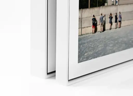
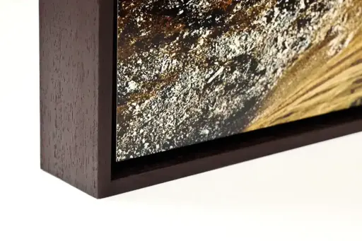
The photograph is suitable both for a floater frame and for mounting on aluminium dibond. I like both versions very much.


